
Interoperability · Executive summary
The Interoperable Map
Unified real-time asset tracking across radio, cellular and satellite networks for mission-critical operations
For GIS Directors, Public Works and Fleet Directors, IT Managers, City and County Administrators and the elected officials who approve the budget.
Asset Mapping Evidence Standard
- Sources verified
- Claims checked
- Evidence critically assessed
- Conclusions evidence-rated

GISP Continuing Education Credits
AssetMapping Intelligence reports study qualifies for GIS Certification Institute continuing education credit. Certificate of Study included with all report purchases. Visit www.gisci.org to self-submit the report curriculum for approval.
Executive summary
Your organization probably has four to six separate systems that show vehicles on a map. The plow spreader vendor sold you one. The fleet leasing company bundled another. Your radios have GPS built in. Somebody's department bought an app. Each produces a map, none of them produces the map, and the cost shows up as staff time nobody tracks.
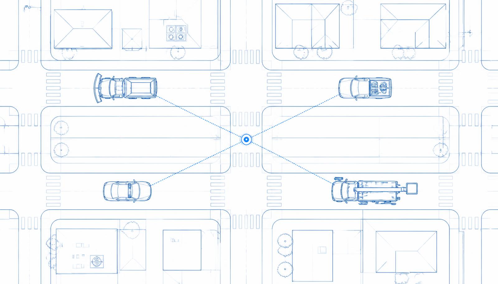
The fix is not another tracking system. It is a layer that sits underneath all of them — one that takes location data from any device on any network, translates it into a single format your organization controls, adds meaning to it (which street, which route, which district, was the plow down), and then feeds your map, your dispatch system, your work order system and your public status page. This Local Government Edition explains that layer in plain language, what it costs, where the savings actually are, and the three unglamorous things that decide whether the project succeeds.
Contents
- 01Executive Summary
- 02Overview
- 03One-Page Briefing
- 041. The Five-Map Problem
- 052. Your GIS Is a Filing Cabinet. You Also Need a Switchboard.
- 063. The Three Networks, Explained
- 074. How the Location Engine Works
- 085. For GIS Directors Specifically
- 096. What It Looks Like in Each Department
- 107. Why "Updates Every 30 Seconds" Is the Wrong Requirement
- 118. Your Employees and the Union
- 129. Public Records, Privacy, and Retention
- 1310. Costs and Where the Savings Actually Are
- 1411. Questions to Ask Vendors
- 1512. A Twelve-Month Plan
- 1613. How You Will Know It Is Working
- 1714. What This Will Not Do
- 1815. Conclusion
- 1916. Glossary
- 20Summary of Findings
- 21Evidence Framework
- 22Bibliography