
Asset Mapping Intelligence · Research series
Research for better geospatial decisions.
Independent, evidence-led Intelligence reports for local government. Read the executive summaries free. Purchase the complete research from $45
Evidence-led analysis for the people shaping GIS and location strategy in local government.
- Grounded
- in evidence
- Focused on
- real-world outcomes
- Built for
- local government
Less promotion. More evidence. Better decisions.
Free executive summaries · Full reports from $125
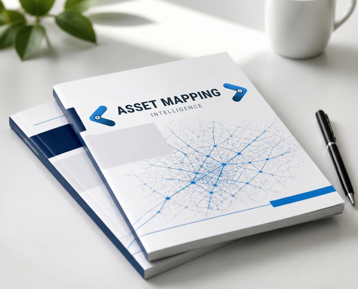

GISP Continuing Education Credits
AssetMapping Intelligence reports study qualifies for GIS Certification Institute continuing education credit. Certificate of Study included with all report purchases. Visit www.gisci.org to self-submit the report curriculum for approval.
Weekly Featured Report
Does Mobile Mapping Actually Pay for Itself?
The evidence on cost, productivity and ROI for local government
The reports
Intelligence reports
Premium research reports for purchase. Every executive summary is free to read — the complete report is available from $45
State of practice
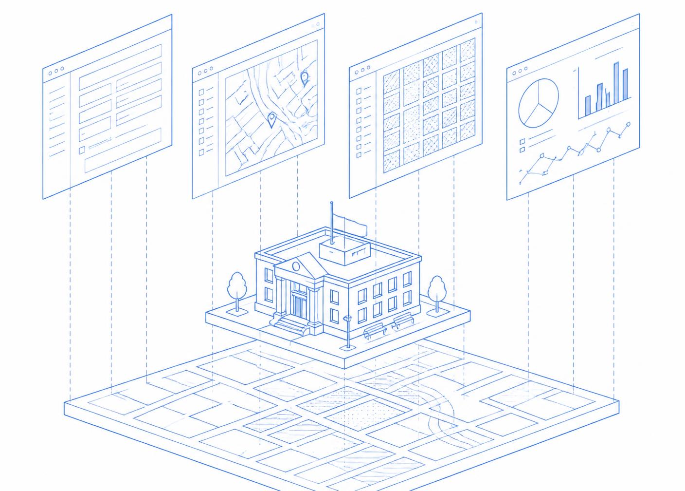
The Departmental Turn
How GIS Is Moving from Mapping Platform to Departmental Infrastructure
Inside the report:
- Departmental architecture
- Sherburne County case study
- AI-assisted plan review
- Federal funding signals
Business case
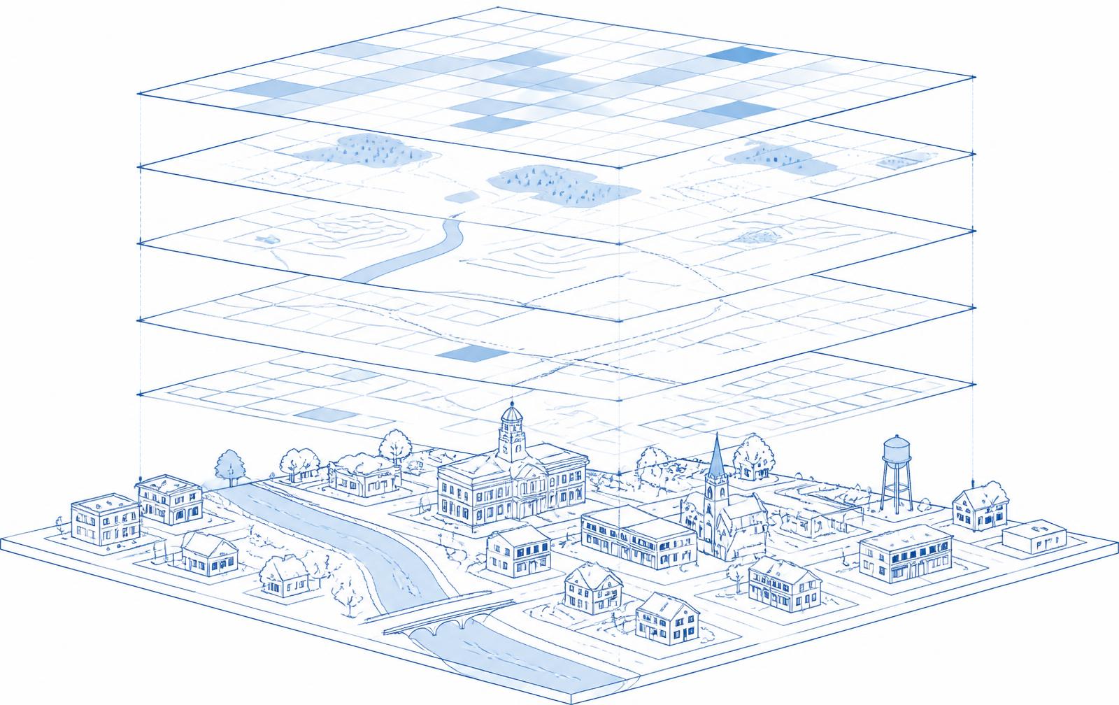
The First Year Does Not Pay for Itself
A Finance-Ready Business Case for Municipal GIS
Inside the report:
- The year-one ROI math
- Where GIS value comes from
- The GIS Investment Test
- Scenario and demand analysis

Public works & utilities
Return on Location
Where geospatial investment actually pays back — and how to prove it
Inside the report:
- Five core findings
- The truck-roll economics
- The Return on Location scorecard
- A 12-month program
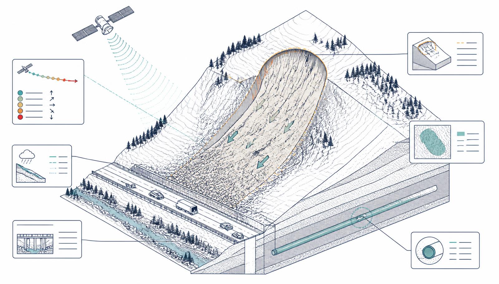
Landslide risk
Landslide Intelligence — The Evidence Edition
How GIS, earth observation and AI are helping local governments move from mapping landslide susceptibility to managing infrastructure risk
Inside the report:
- From susceptibility maps to spatial intelligence
- What each department asks
- The Geospatial-AI maturity model
- A five-step action plan
Cost & productivity
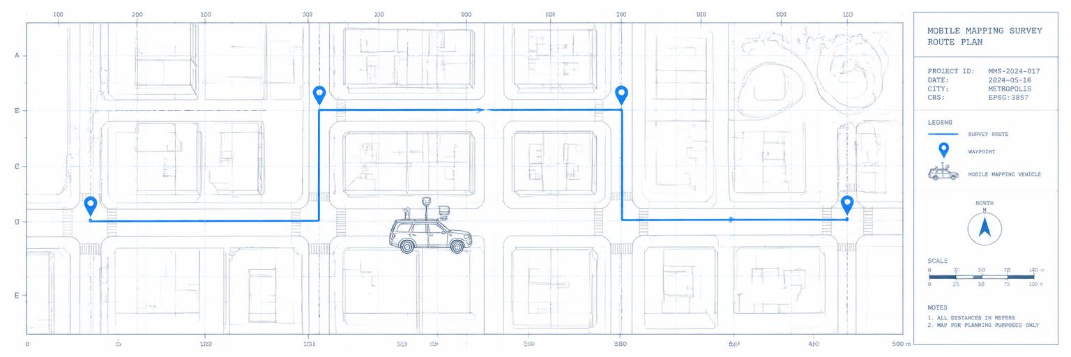
Does Mobile Mapping Actually Pay for Itself?
The evidence on cost, productivity and ROI for local government
Inside the report:
- Where the economics work
- Where they don't
- Local-government case evidence
- Five questions before investing
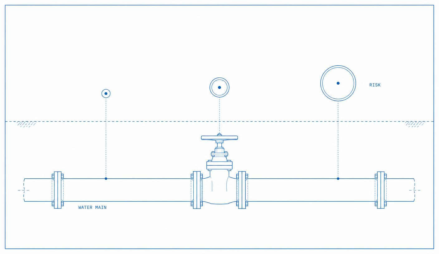
Water infrastructure
Can AI Predict Which Water Main Will Break Next?
What the evidence says about predictive analytics for water infrastructure
Inside the report:
- Predictive accuracy
- Data requirements
- Utility case evidence
- Procurement questions

Asset inventory & AI
Can Street-Level Imagery Replace Traditional Asset Inventories?
AI, imagery and the changing economics of municipal data collection
Inside the report:
- What accuracy studies show
- Asset-by-asset assessment
- A defensible QA model
- Procurement questions
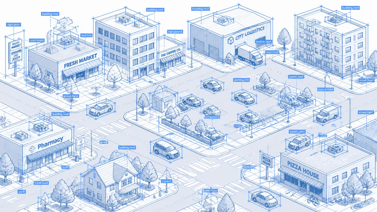
GeoAI accuracy
How Accurate Is AI-Based Feature Extraction?
When can local government trust machine-generated GIS data?
Inside the report:
- Benchmark scores vs. GIS standards
- Accuracy by data source and feature
- The transferability problem
- A seven-gate acceptance framework
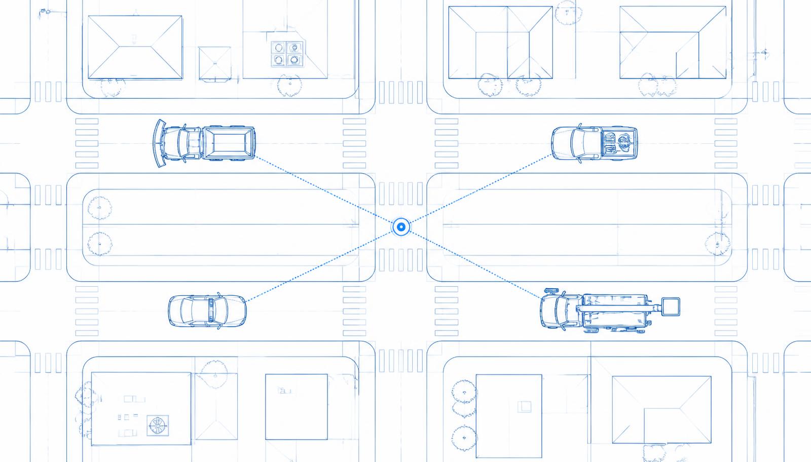
Interoperability
The Interoperable Map
Unified real-time asset tracking across radio, cellular and satellite networks for mission-critical operations
Inside the report:
- The five-map problem
- Radio, cellular and satellite compared
- How the location engine works
- Costs and where the savings are
Underground assets
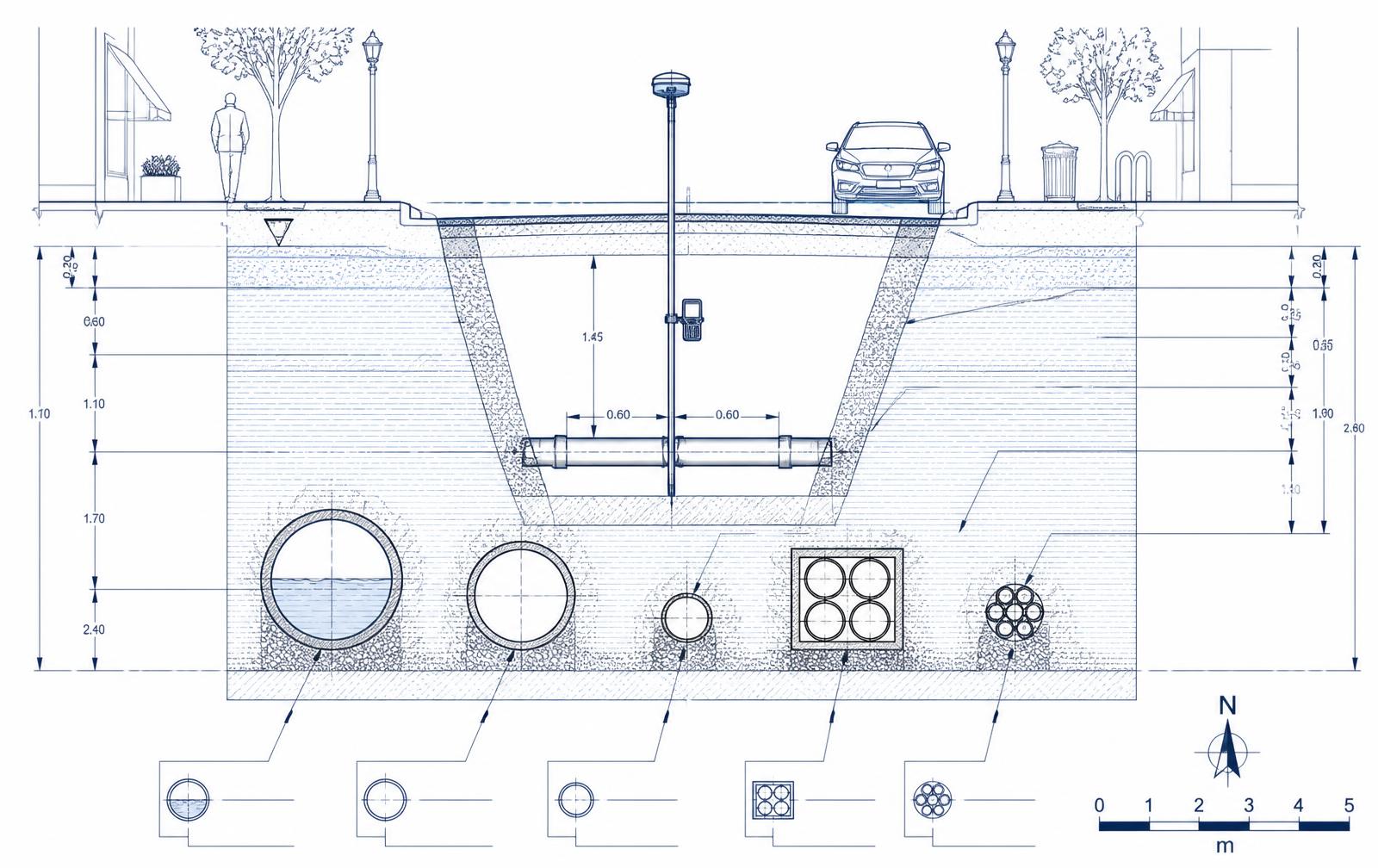
Underground Infrastructure Intelligence
Closing the Loop from Locate to As-Built
Inside the report:
- Why underground records fail
- ASCE 38-22 and ASCE 75-22 in practice
- The locate-to-as-built loop
- Twelve evidence-rated findings
Land records, assessment & property tax
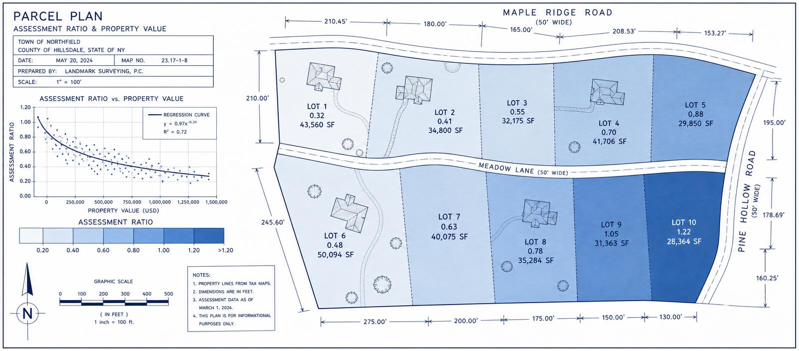
The Regressive Map
How geospatial analysis reveals assessment inequity in property tax — and what to do about it
Inside the report:
- Why aggregate accuracy hides inequity
- Cook County and Detroit cases
- COD, PRD and PRB in practice
- A four-quarter uniformity program
Independent research. Transparent evidence.
Asset Mapping Intelligence is editorially independent. Vendors may sponsor distribution or related educational programs, but they do not determine findings, evidence ratings or conclusions.
How the research works
Each Intelligence report starts with a practical question facing government today: Is the investment justified? What does the evidence actually show? What is changing in the market? What should a city or county do next?
We then build the analysis from the evidence outward.
Our Intelligence reports draw on current government research, academic studies, professional standards, public agency case studies, industry data and primary-source material. AI-assisted research helps us examine a wider body of evidence; sources and quantitative claims are then reviewed, compared and placed in context rather than simply repeated.
Where the evidence is strong, we say so.
Where results come from a single jurisdiction, a vendor case study or a forecast rather than a measured outcome, we identify that too.
The objective is not to promote a particular technology or produce another collection of success stories. It is to give local-government decision-makers a concise, evidence-led view of what is working, what remains uncertain, where value is being created and what questions should be asked before the next investment is made.
Who are the Intelligence reports for?
Asset Mapping Intelligence reports are written for the people making and influencing geospatial decisions across local government, including:
- GIS Directors & Managers
- Public Works Directors
- Utility Leaders
- Planning & Community Development Directors
- City & County Engineers
- CIOs & Technology Leaders
- Asset Managers
- Emergency Management Leaders
- Finance & Procurement Teams
- City and County Executives
Some Intelligence reports are discipline-specific. Others address issues that cut across the organization — from GIS investment and asset management to AI, permitting, infrastructure, data governance and the changing role of the geospatial function.
Start with the decision. Follow the evidence. Be clear about what the evidence does — and does not — prove.