
Landslide risk · Executive summary
Landslide Intelligence — The Evidence Edition
How GIS, earth observation and AI are helping local governments move from mapping landslide susceptibility to managing infrastructure risk
For GIS Directors, Public Works, Engineering, Planning, Emergency Management and City and County Executives.
Asset Mapping Evidence Standard
- Sources verified
- Claims checked
- Evidence critically assessed
- Conclusions evidence-rated

GISP Continuing Education Credits
AssetMapping Intelligence reports study qualifies for GIS Certification Institute continuing education credit. Certificate of Study included with all report purchases. Visit www.gisci.org to self-submit the report curriculum for approval.
Executive summary
For decades, landslide susceptibility mapping answered one question: where is terrain most likely to fail? That question still matters.
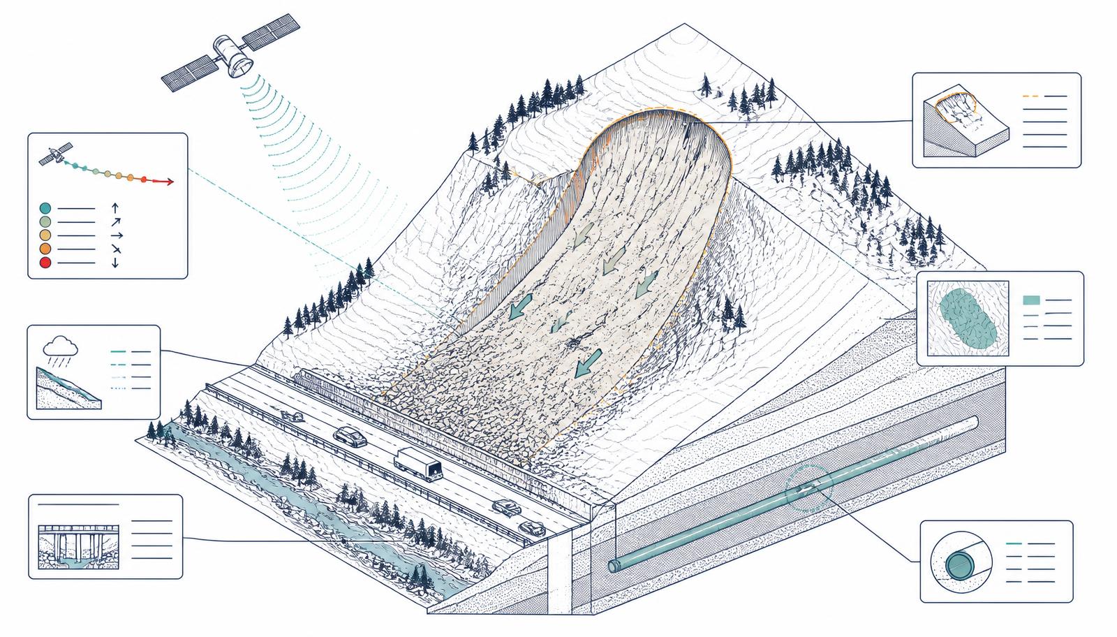
A bibliometric review of 2,002 peer-reviewed articles published between 2015 and 2025, supported by 12 additional studies, documents a clear evolution from conventional GIS-based susceptibility mapping toward an integrated environment combining GIS, remote sensing, machine learning and Earth observation. This edition traces what that shift means for local governments managing real infrastructure risk — and separates measured outcomes from forecasts and vendor case studies.
Contents
- 01Executive Summary
- 02Why Local Government Should Care
- 03The Technology Shift: From Static Susceptibility to Dynamic Spatial Intelli…
- 04From Hazard to Consequence: A Better Map Is Useful, a Better Decision Is Mo…
- 05What Each Department Asks
- 06The Geospatial-AI Maturity Model: You Do Not Need to Start With AI
- 07AI, Trust and Governance: Predictive Does Not Automatically Mean Trustworthy
- 08A Practical Action Plan: Five Things to Do Now
- 09Questions for Local-Government Leaders
- 10What This Means for a U.S. City or County
- 11Conclusion: From Mapping Risk to Managing Risk
- 12Evidence Framework
- 13Bibliography