
Underground assets · Executive summary
Underground Infrastructure Intelligence
Closing the Loop from Locate to As-Built
For Cities and Counties, State DOTs, Public Works and Transportation Departments, Water, Wastewater and Stormwater Utilities, Electric, Gas, Telecom and Broadband Owners, Engineering, Survey, Locating and SUE Firms, Excavation Contractors, Right-of-Way Managers and GIS and Asset Management Teams.
Asset Mapping Evidence Standard
- Sources verified
- Claims checked
- Evidence critically assessed
- Conclusions evidence-rated

GISP Continuing Education Credits
AssetMapping Intelligence reports study qualifies for GIS Certification Institute continuing education credit. Certificate of Study included with all report purchases. Visit www.gisci.org to self-submit the report curriculum for approval.
Executive summary
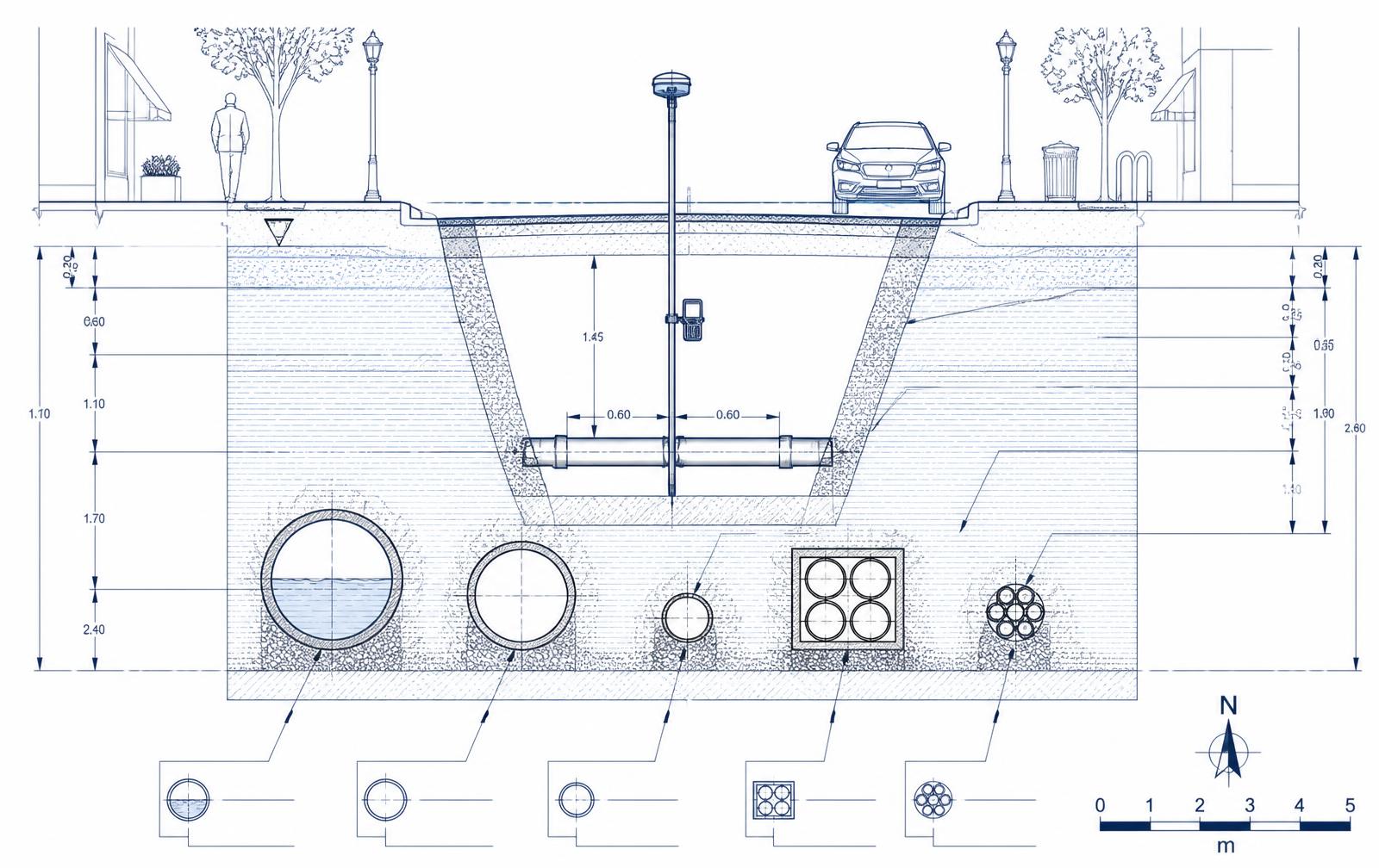
North America has an underground infrastructure information problem. Agencies and utilities manage vast networks of buried water, wastewater, stormwater, gas, electric, telecommunications and transportation infrastructure — yet the best information about those assets frequently exists for only a few hours, while a trench is open. Then the trench is closed, and what survives is a marked-up drawing, a PDF in a project folder, or knowledge held by experienced staff.
The problem is getting worse, not better: the CGA Index reached a record 102 in 2025 against a 2022 baseline of 100, from 221,717 unique reported damages, and CGA's 2026 economic study modeled 668,999 incidents at $83.2 billion in annual economic impact — of which direct repair is only 5.9%. This Insight sets out a continuous information loop — Locate, Verify, Capture, Validate, Update, Reuse — framed by ASCE 38-22 and ASCE 75-22, and it is explicit about the widely circulated claims the evidence does not support.
Contents
- 01Executive Summary
- 02Key Findings at a Glance
- 031. Why Underground Infrastructure Records Fail
- 042. The Regulatory and Standards Environment
- 053. Stage One — Turn the Locate Ticket into an Intelligence Event
- 064. Stage Two — Verify What Is Actually Underground
- 075. Stage Three — Capture the Open Trench
- 086. The Public Right-of-Way Is a Strategic Control Point
- 097. Stage Four — Establish a System of Record
- 108. Stage Five — Connect the Record to Operations
- 119. Cross-Owner Data Sharing
- 1210. Governance and Procurement
- 1311. The Economic Case
- 1412. The Cost of Damage Is Bigger Than the Repair Invoice
- 1513. What the Evidence Does Not Support
- 1614. What Different Stakeholders Should Take From This
- 1715. A Practical Implementation Roadmap
- 1816. Measures That Matter
- 1917. Evidence-Rated Findings
- 2018. Conclusion
- 21Evidence Framework
- 22Annotated Bibliography and Citations